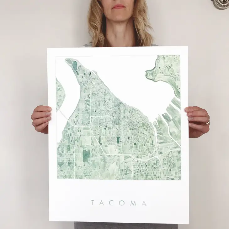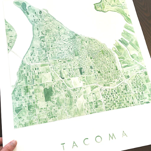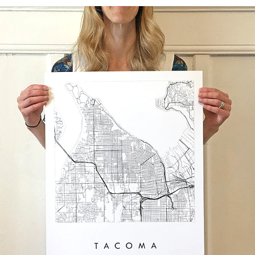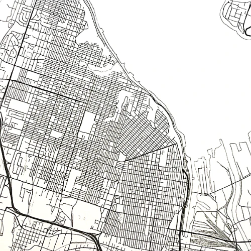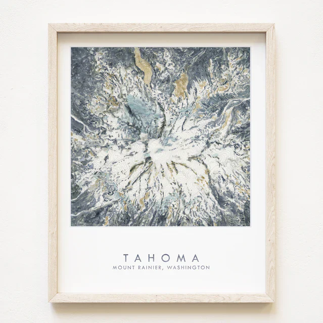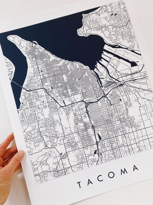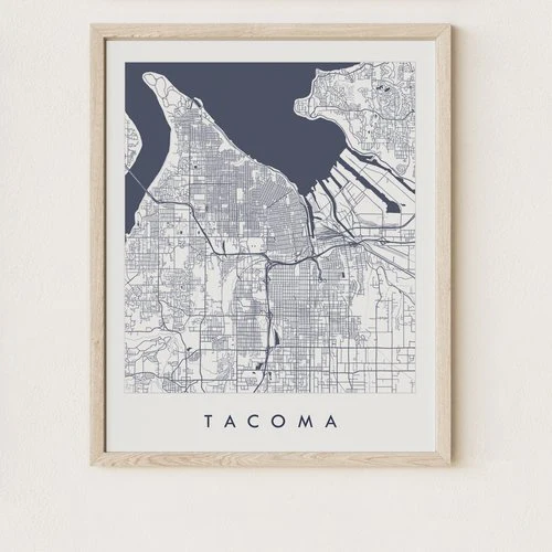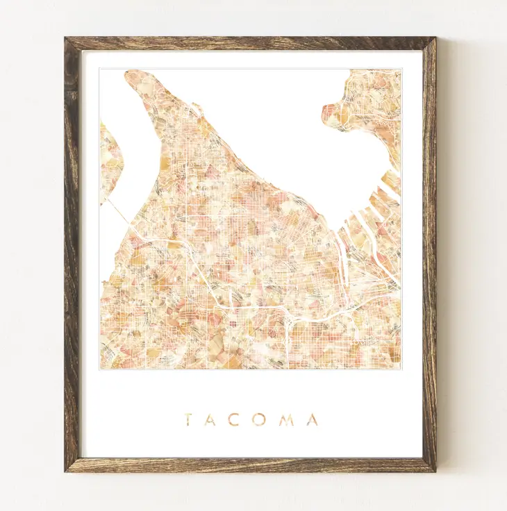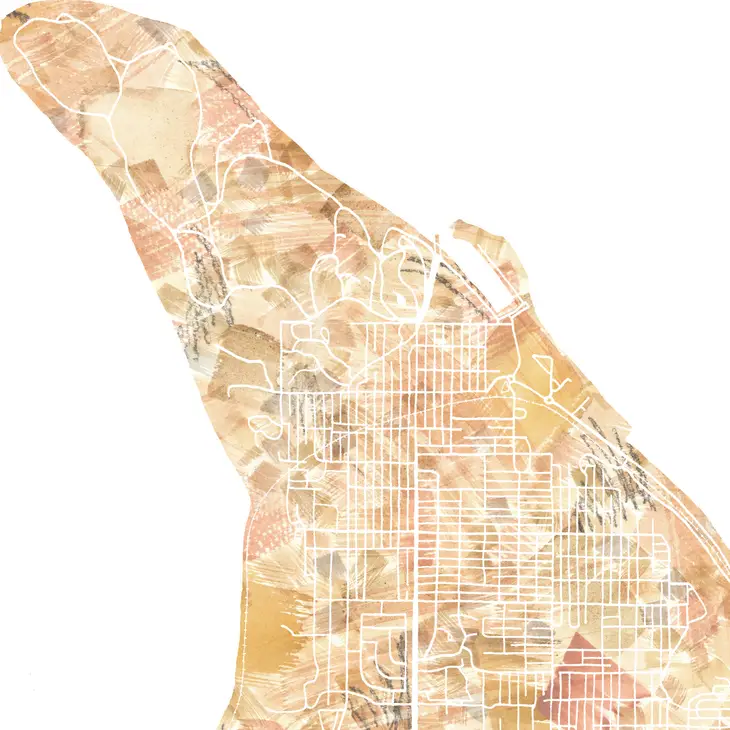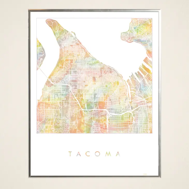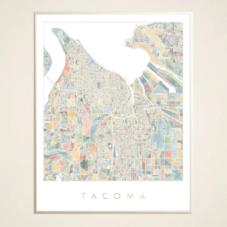
The Story
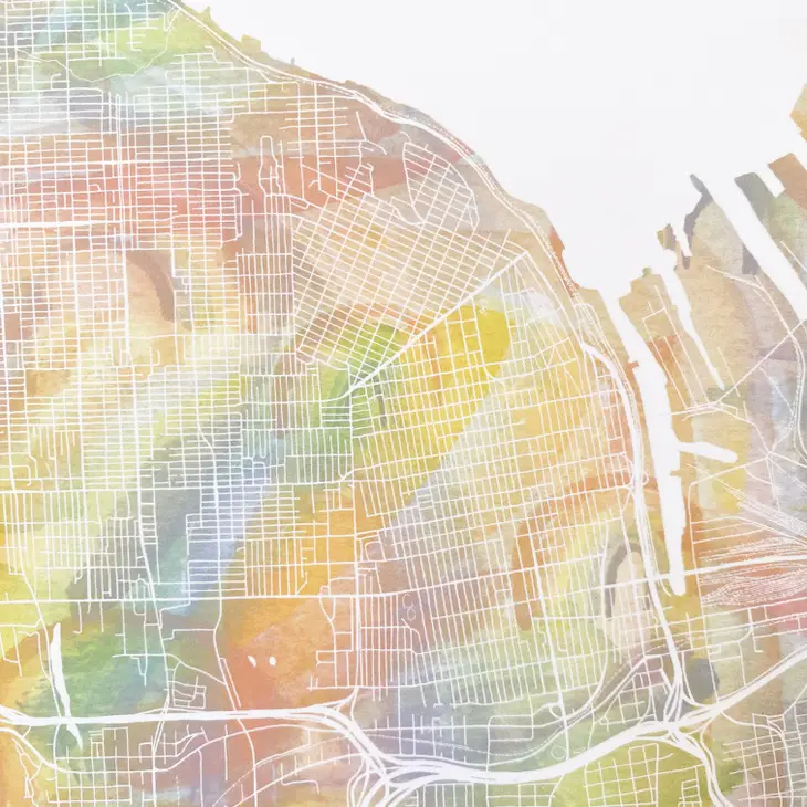
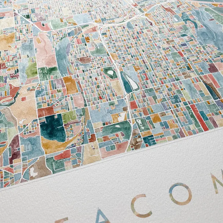
This ColorFULL Watercolor map includes the entire width of the "peninsula" between the Port and the Tacoma Narrows, from Point Defiance to S. 96th Street. It includes all of the City of Tacoma, as well as Ruston, Fircrest, University Place, the northern bits of Steilacoom and Lakewood and Browns Point. Each block watercolored by hand. This is a PRINT of my original watercolor painting in variegated tones of blue, green, yellow, orange, pink, purple and brown. Epson archival coated paper / Epson Professional high-quality inkjet printer / Archival inks Original drawing. Print is signed & dated by me. Packaged neatly in cello sleeve with stiff white backboard.
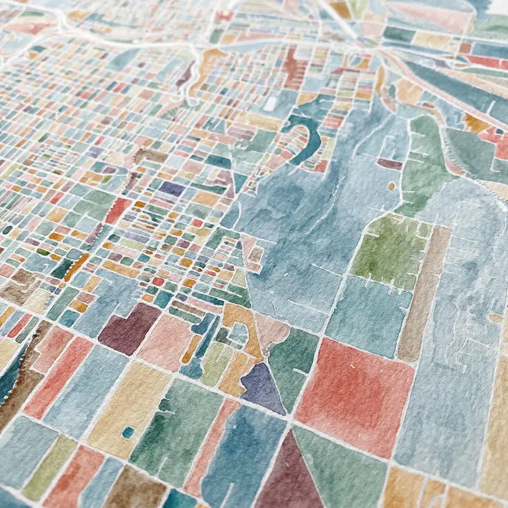
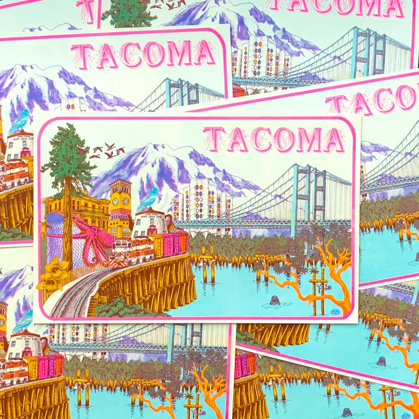
Details & Craftsmanship
Every detail has been carefully considered to bring you the perfect product.
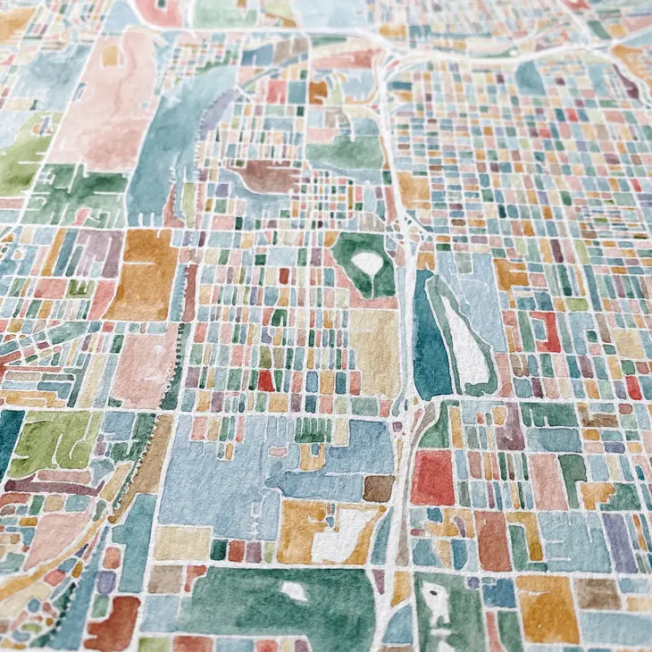
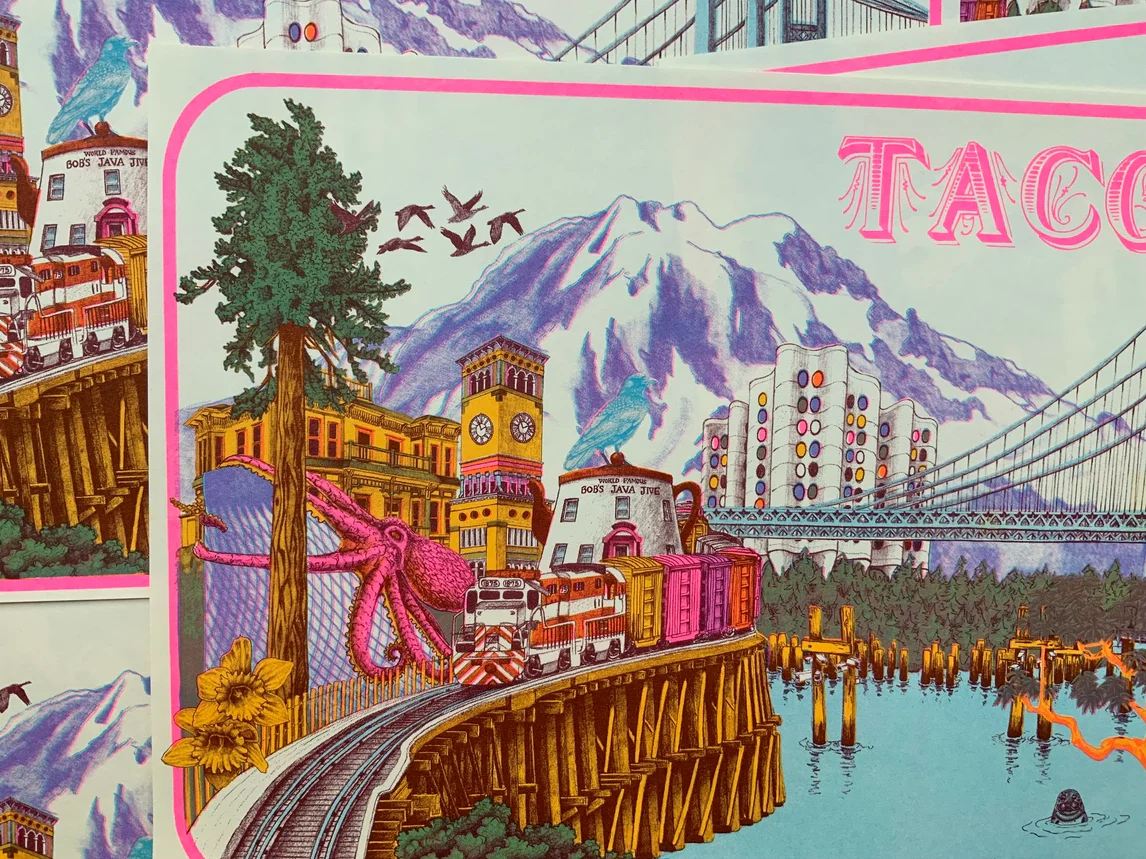
Details & Craftsmanship
Every detail has been carefully considered to bring you the perfect product.
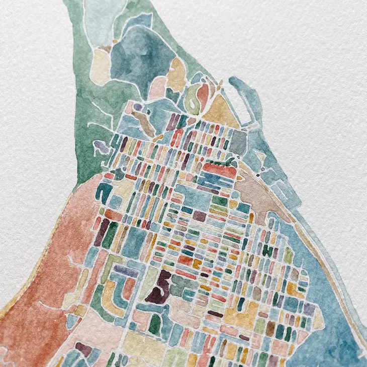
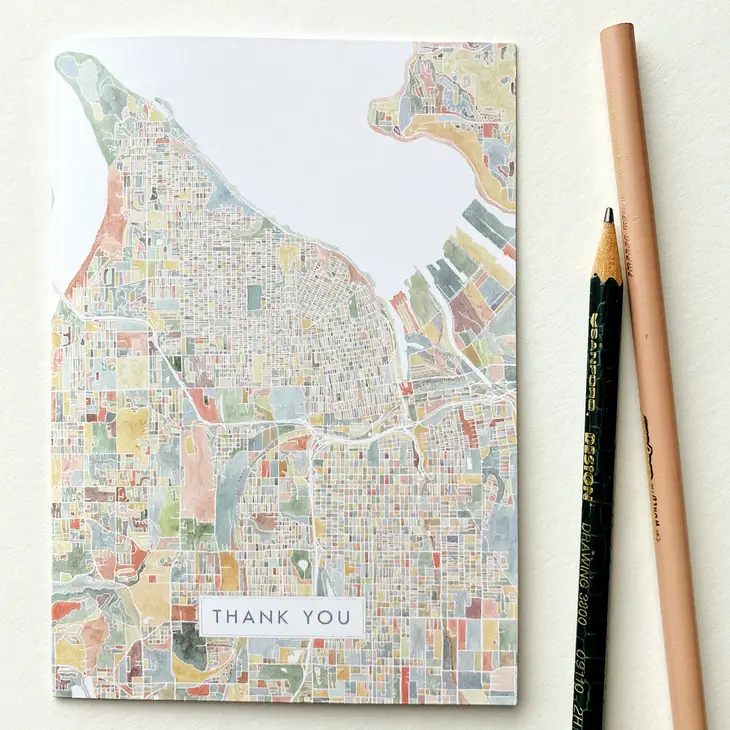
Details & Craftsmanship
Every detail has been carefully considered to bring you the perfect product.
Details & Craftsmanship
Every detail has been carefully considered to bring you the perfect product.
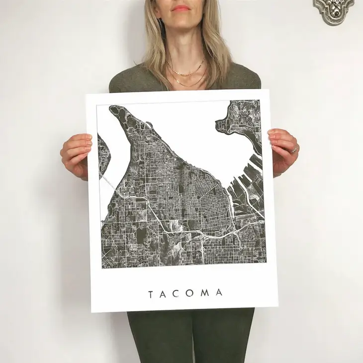
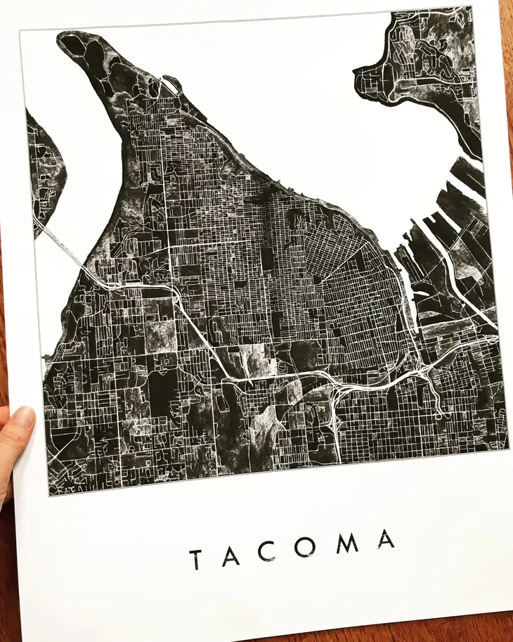
Description
This ColorFULL Watercolor map includes the entire width of the "peninsula" between the Port and the Tacoma Narrows, from Point Defiance to S. 96th Street. It includes all of the City of Tacoma, as well as Ruston, Fircrest, University Place, the northern bits of Steilacoom and Lakewood and Browns Point. Each block watercolored by hand. This is a PRINT of my original watercolor painting in variegated tones of blue, green, yellow, orange, pink, purple and brown. Epson archival coated paper / Epson Professional high-quality inkjet printer / Archival inks Original drawing. Print is signed & dated by me. Packaged neatly in cello sleeve with stiff white backboard.